Downloads
- Kits are signed,
- There is NO need to uninstall old kits.
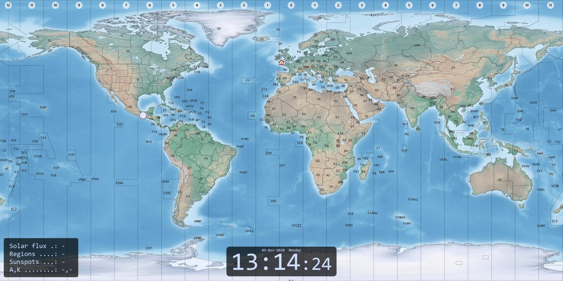
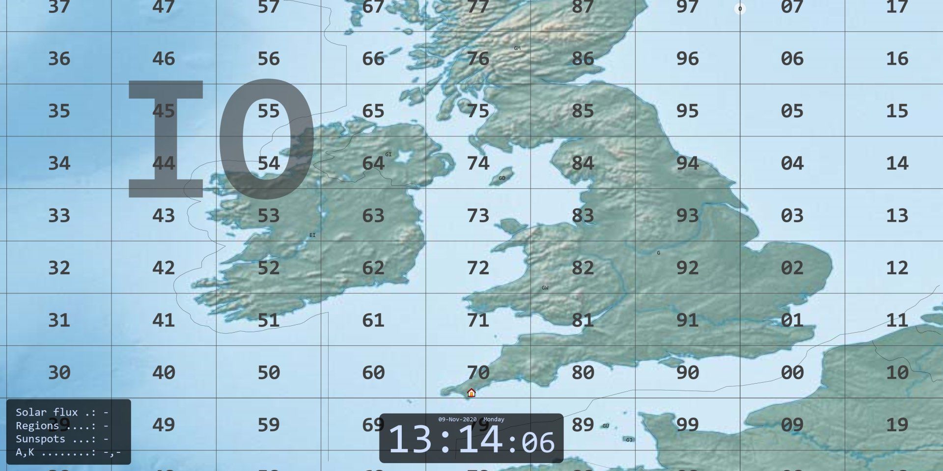
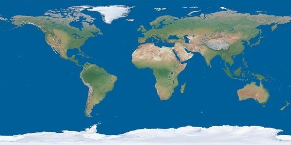
Maps
Format
The only format supported is Equirectangular projection .
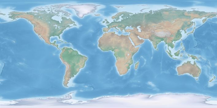
NASA Visible Earth
The program uses the Explorer Base Map, higher resolution downloads are available here. If the link is broken just search for 'NASA Visible Earth, Explorer base Map'. The highest resolution TIFF format (0.1 degree) can be opened with this program, great for zooming!
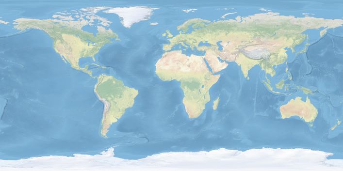
Natural Earth
The program includes three resized Natural Earth maps which have been resized to 4k or slightly less. Higher-resolution files scale better when a Zoom is applied, but you may have problems loading them, especially on older computers running 32-bit versions of Windows (see Errors below).
Click on a link below to download the image to your computer, then select the image (Ribbon bar, Map, Select). Only jpg and tiff format images are supported.
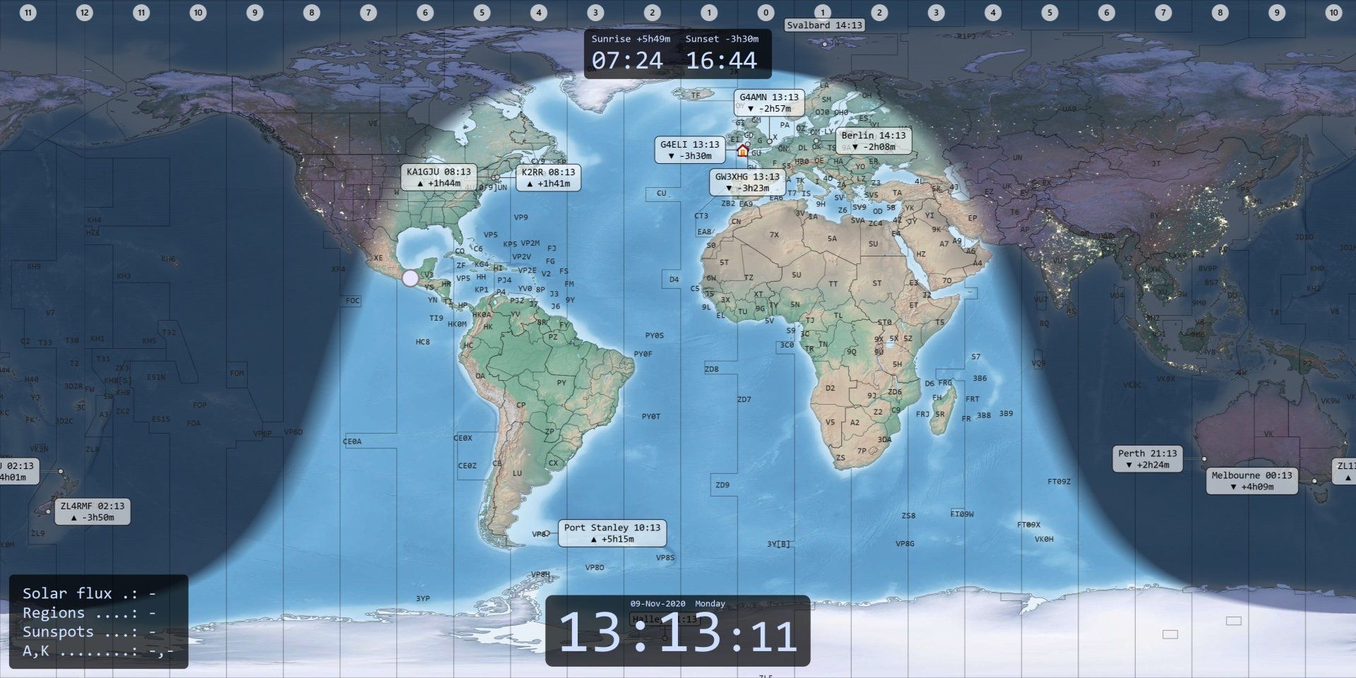
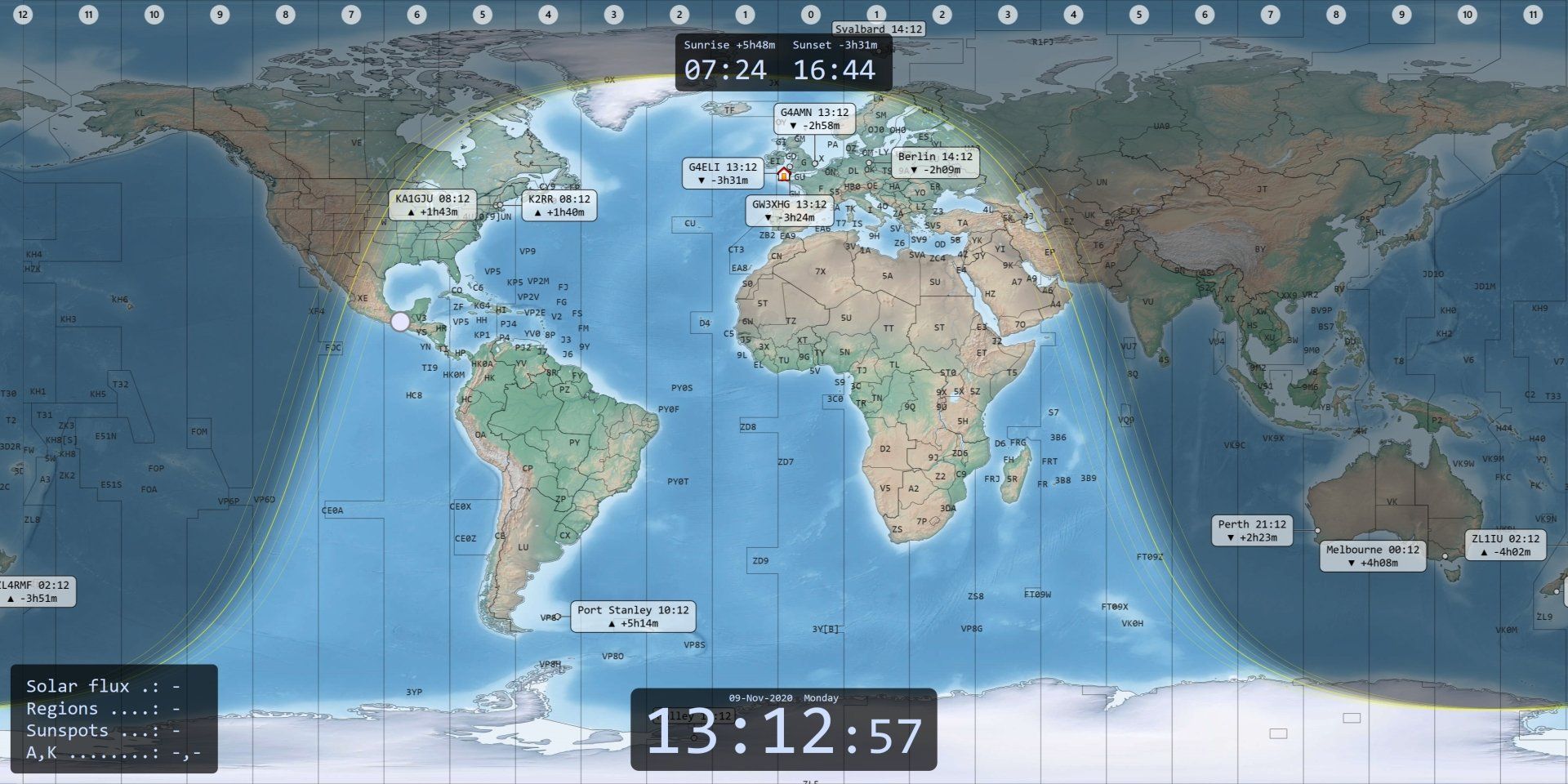
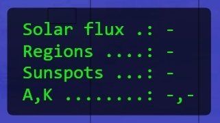
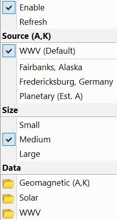
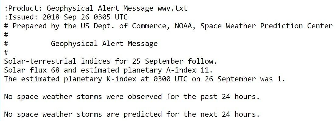
Space Weather
- Fredericksburg (middle latitude),
- Fairbanks Alaska (high latitude), and
- Planetary where the A value is estimated.
- No data is currently available, or
- A firewall is blocking access to the data source.New Paragraph

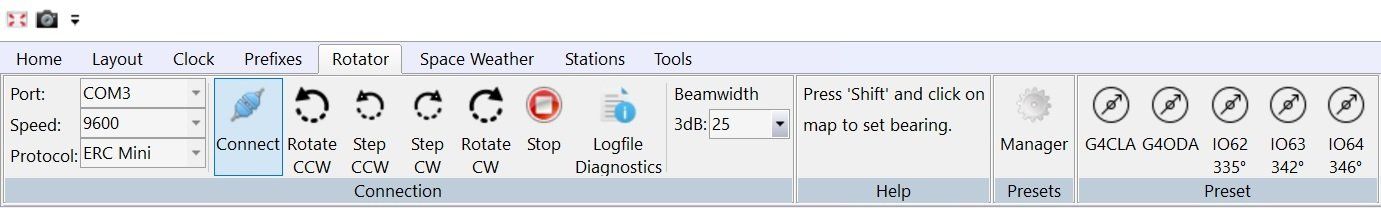
Rotators
Rotator support was added to initially support just the ERC-Mini DX which is used at World Map HQ to interface with Yaesu G-1000 DXC rotators. World Map users then requested extended support, so now the list is:
- ERC-MINI DX
- ERC Version 4
Serial port:
- GS-232A
- GS-232B
- DCU-1
The implementation is basic, once connected the map is updated with the rotator's current azimuth position. To change the bearing press the keyboard Shift button and click on the map.
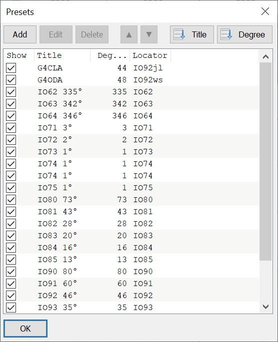
Presets
With version 1.2.1 you can add an unlimited number of preset definitions, these are added as buttons on the ribbon bar.